
Bollington
Footpaths in Bollington: 56 Photographed locations: 8
Authority: Cheshire East Council, Public Rights of Way Office
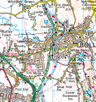


Image produced from the Ordnance Survey Get-a-map service.
Image reproduced with kind permission of Ordnance Survey
and Ordnance Survey of Northern Ireland.
Image reproduced with kind permission of Ordnance Survey
and Ordnance Survey of Northern Ireland.
The squares
on the map indicate photographed locations. Hold your mouse pointer over a square to see the path number and a brief description of the photograph.
Click to see the photograph(s).
- FP2: Footpath diverted (SOLVED) 5 photos
- FP7: Sign at Ovenhouse Lane overgrown (SOLVED) 2 photos
- FP24: Path quarried away (3 photos)
- FP31: Stile in poor condition (SOLVED) 2 photos
- FP45: Broken sign at Springwood Way (SOLVED) 2 photos
- FP49: Path unclear - no sign (SOLVED) 2 photos
- FP52: Path overgrown (SOLVED) 2 photos
- FP56: Unauthorised structure