
Hopton
Footpaths in Hopton: 20 Photographed locations: 9
Authority: Derbyshire County Council, Public Rights of Way Office
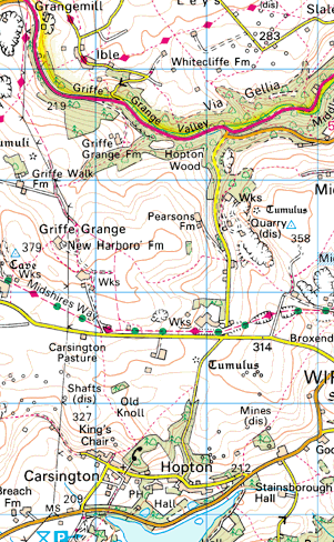


Image produced from the Ordnance Survey Get-a-map service.
Image reproduced with kind permission of Ordnance Survey
and Ordnance Survey of Northern Ireland.
Image reproduced with kind permission of Ordnance Survey
and Ordnance Survey of Northern Ireland.
The squares
on the map indicate photographed locations. Hold your mouse pointer over a square to see the path number and a brief description of the photograph.
Click to see the photograph(s).
- FP2: Finger post sawn off
- FP2: No signs or stiles at B5035
- FP2: Overgrown
- BW4: Gate cannot be opened (SOLVED) 3 photos
- FP7: Gate tied shut with twine (SOLVED) 2 photos
- FP7: Broken fingerpost
- FP7: Gate secured with knotted twine
- FP11: Path obstructed by wire fence (SOLVED) 2 photos
- FP17: Path obstructed by stone wall