
Bollington FP2
| 2008: Approaching from the east, the diversion swings left avoiding the farmyard |
|---|
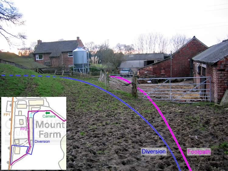 |
| CE-BOL-2 · SJ91647757 · 28/01/2008 |
| 2008: 100 metres later the diversion crosses a stile then backtracks on the original path |
|---|
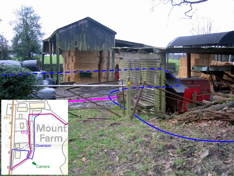 |
| CE-BOL-2 · SJ91647757 · 28/01/2008 |
| 2008: The diversion turns left and left again onto the main farm track |
|---|
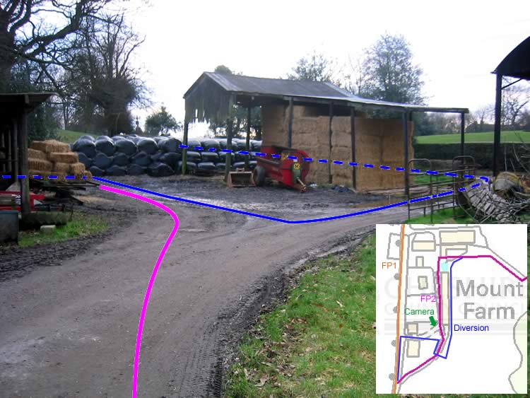 |
| CE-BOL-2 · SJ91647757 · 28/01/2008 |
| 2008: The diversion meets the south end of the original footpath |
|---|
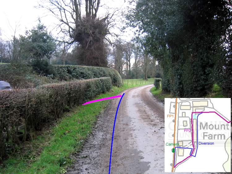 |
| CE-BOL-2 · SJ91647757 · 28/01/2008 |
| 2011: New gate at S end |
|---|
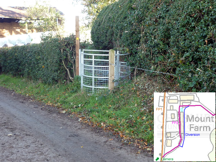 |
| CE-BOL-2 · SJ91647757 · 26/10/2011 |
The location is highlighted by the square  on the map below.
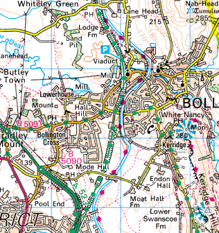


Image produced from the Ordnance Survey Get-a-map service.
Image reproduced with kind permission of Ordnance Survey
and Ordnance Survey of Northern Ireland.
Image reproduced with kind permission of Ordnance Survey
and Ordnance Survey of Northern Ireland.