
Bollington FP24
| Path quarried away (approach from east) |
|---|
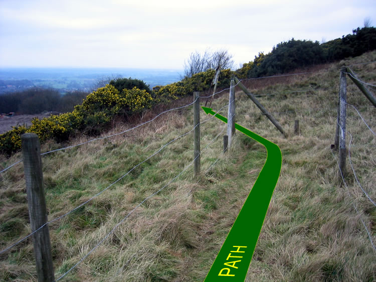 |
| CE-BOL-24 · SJ94037645 · 28/01/2008 |
| Path quarried away (approach from west) |
|---|
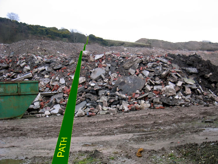 |
| CE-BOL-24 · SJ94037645 · 28/01/2008 |
| Path quarried away (view from south) |
|---|
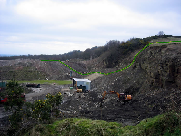 |
| CE-BOL-24 · SJ94037645 · 28/01/2008 |
The location is highlighted by the square  on the map below.
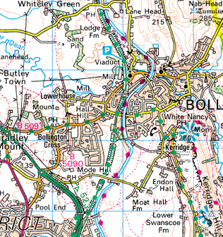


Image produced from the Ordnance Survey Get-a-map service.
Image reproduced with kind permission of Ordnance Survey
and Ordnance Survey of Northern Ireland.
Image reproduced with kind permission of Ordnance Survey
and Ordnance Survey of Northern Ireland.