
Macclesfield FP19
| Badly placed sign (approach from north) |
|---|
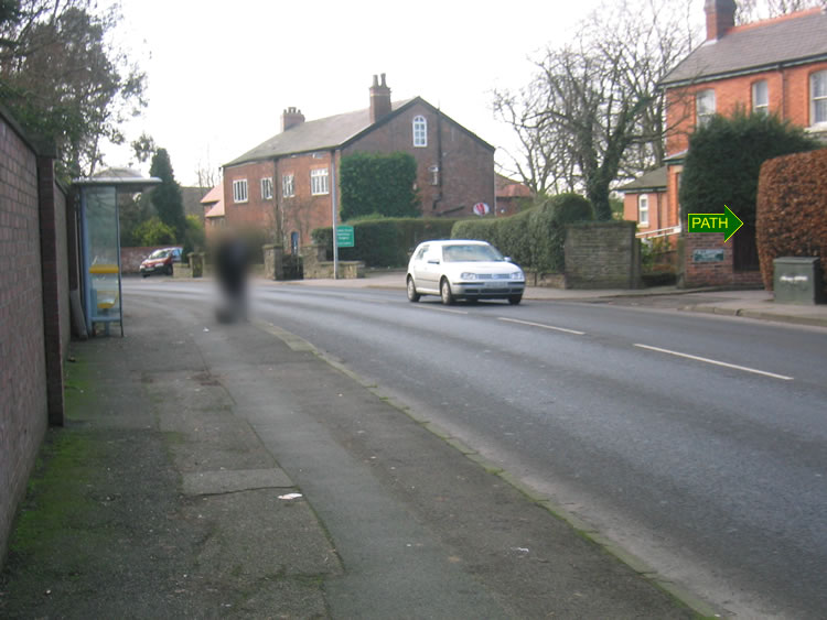 |
| CE-MAC-19 · SJ89447397 · 28/01/2008 |
| Badly placed sign (approach from south) |
|---|
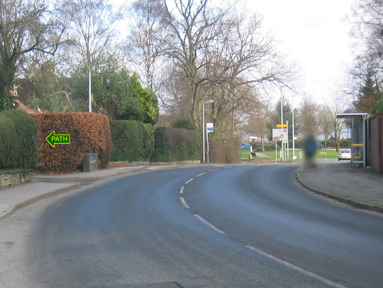 |
| CE-MAC-19 · SJ89447397 · 28/01/2008 |
| Badly placed sign |
|---|
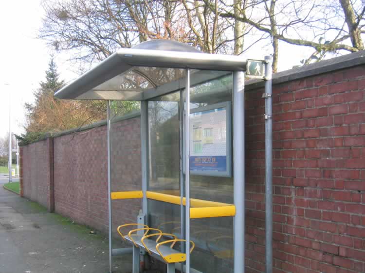 |
| CE-MAC-19 · SJ89447397 · 28/01/2008 |
The location is highlighted by the square  on the map below.
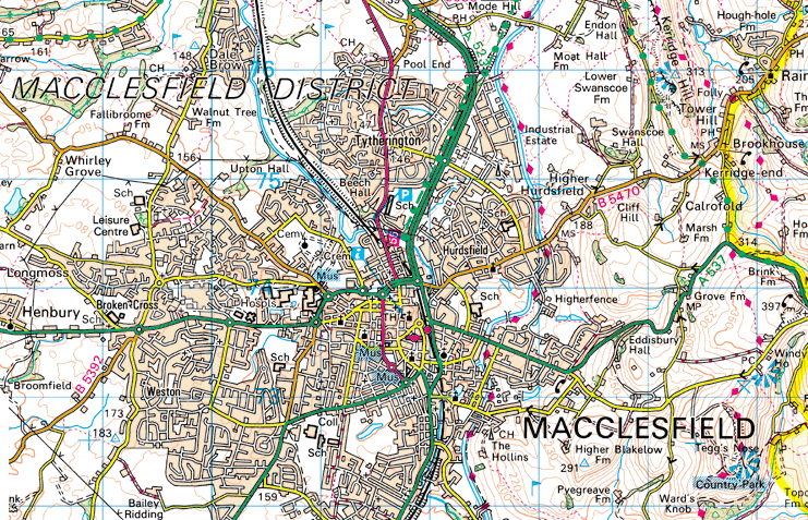


Image produced from the Ordnance Survey Get-a-map service.
Image reproduced with kind permission of Ordnance Survey
and Ordnance Survey of Northern Ireland.
Image reproduced with kind permission of Ordnance Survey
and Ordnance Survey of Northern Ireland.