
Macclesfield FP78
| 2009: Path obstructed by garden waste |
|---|
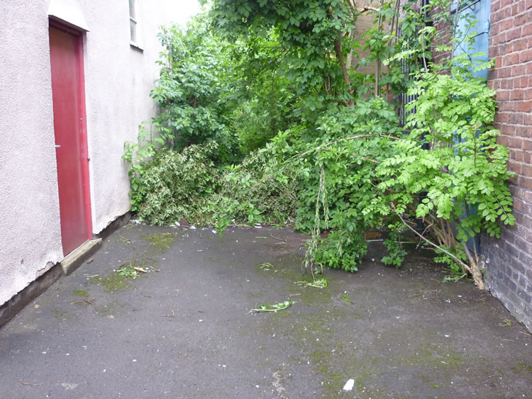 |
| CE-MAC-78 · SJ91947309 · 20/05/2009 |
| 2010: Path cleared, surface sealed |
|---|
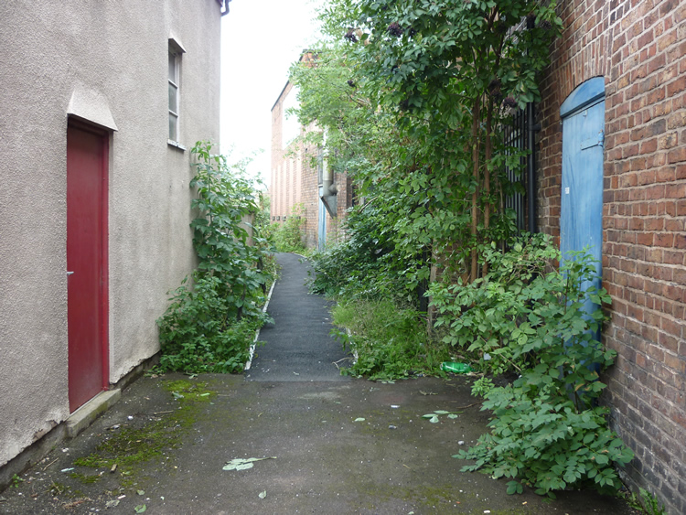 |
| CE-MAC-78 · SJ91947309 · 08/09/2010 |
The location is highlighted by the square  on the map below.
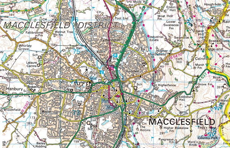


Image produced from the Ordnance Survey Get-a-map service.
Image reproduced with kind permission of Ordnance Survey
and Ordnance Survey of Northern Ireland.
Image reproduced with kind permission of Ordnance Survey
and Ordnance Survey of Northern Ireland.
Next: Callow