
Hopton FP11
| 2009: Path obstructed by wire fence |
|---|
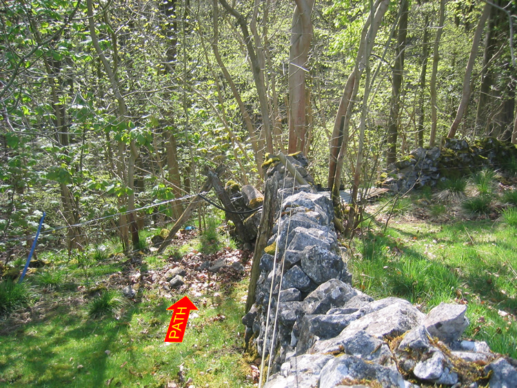 |
| DE-HOT-11 · SK25325630 · 22/04/2009 |
| 2012: Gate installed |
|---|
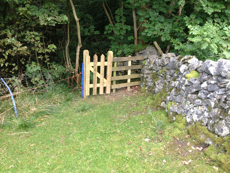 |
| DE-HOT-11 · SK25325630 · 07/09/2012 |
The location is highlighted by the square  on the map below.
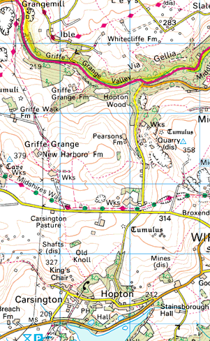


Image produced from the Ordnance Survey Get-a-map service.
Image reproduced with kind permission of Ordnance Survey
and Ordnance Survey of Northern Ireland.
Image reproduced with kind permission of Ordnance Survey
and Ordnance Survey of Northern Ireland.