
Hopton BW4
| 2009: Gate tied with knotted twine |
|---|
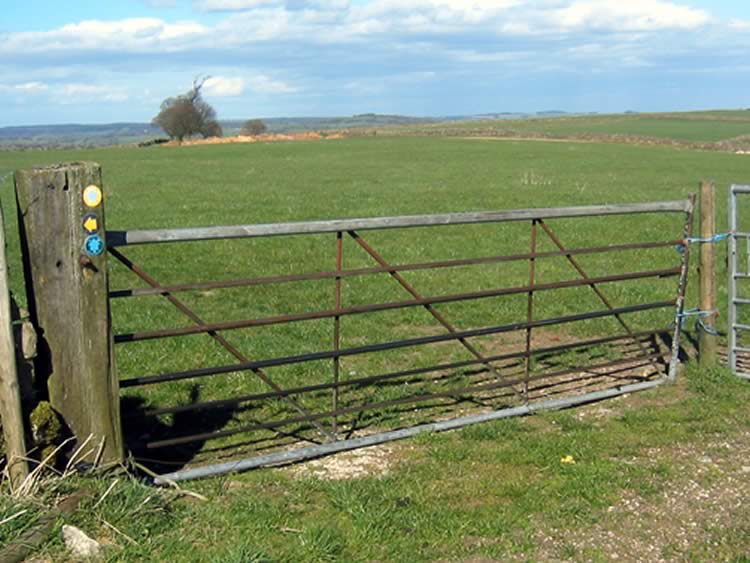 |
| DE-HOT-4 · SK25175514 · 08/04/2009 |
| March 2010: Gate loosely tied |
|---|
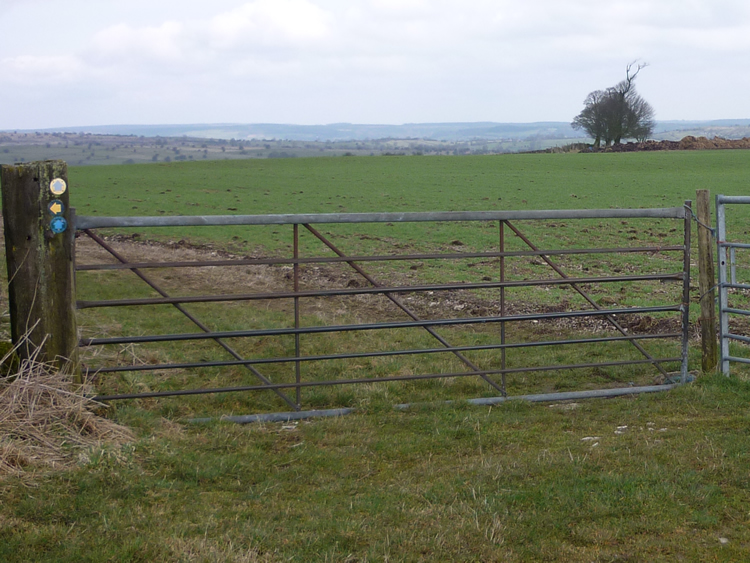 |
| DE-HOT-4 · SK25175514 · 25/03/2010 |
| August 2010: New improved gates |
|---|
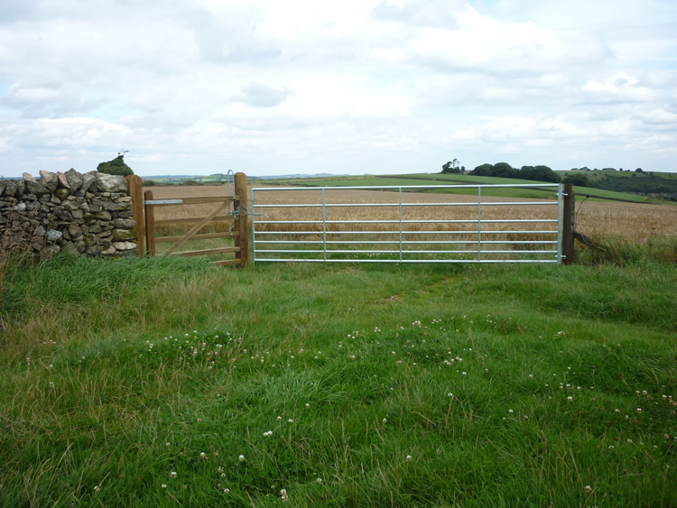 |
| DE-HOT-4 · SK25175514 · 20/08/2010 |
The location is highlighted by the square  on the map below.
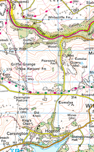


Image produced from the Ordnance Survey Get-a-map service.
Image reproduced with kind permission of Ordnance Survey
and Ordnance Survey of Northern Ireland.
Image reproduced with kind permission of Ordnance Survey
and Ordnance Survey of Northern Ireland.