
Ible FP6
| 2010: Signpost fallen over at Tophill Lane |
|---|
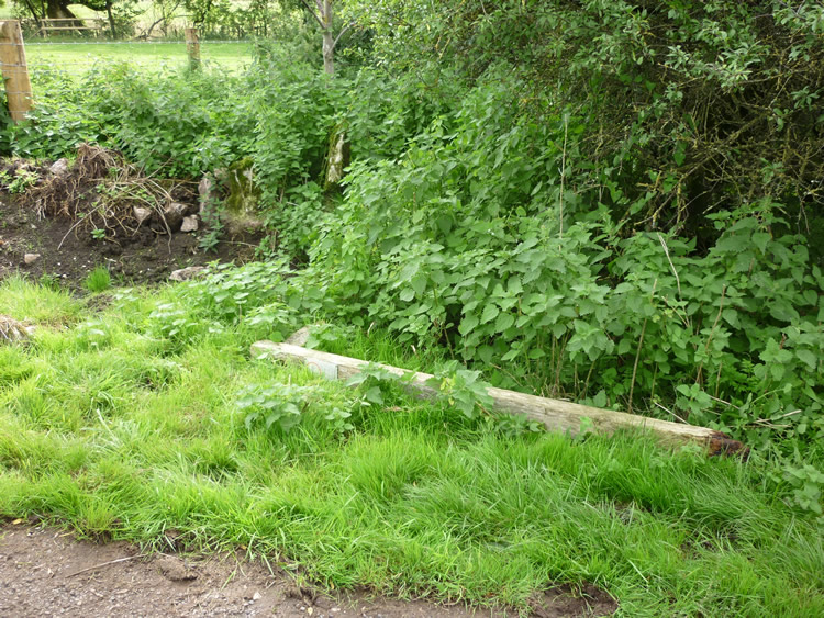 |
| DE-IBL-6 · SK24775783 · 27/08/2010 |
| 2012: New signpost |
|---|
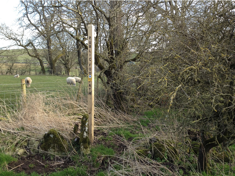 |
| DE-IBL-6 · SK24775783 · 20/03/2012 |
The location is highlighted by the square  on the map below.
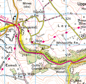


Image produced from the Ordnance Survey Get-a-map service.
Image reproduced with kind permission of Ordnance Survey
and Ordnance Survey of Northern Ireland.
Image reproduced with kind permission of Ordnance Survey
and Ordnance Survey of Northern Ireland.