
Kirk Langley FP29
| 2007: Path obstructed by hedge |
|---|
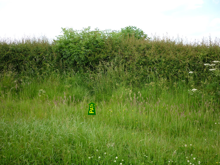 |
| DE-KIY-29 · SK27173882 · 16/06/2009 |
| February 2010: New opening in hedge |
|---|
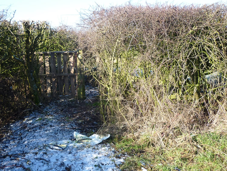 |
| DE-KIY-29 · SK27173882 · 11/02/2010 |
| September 2010: New gate |
|---|
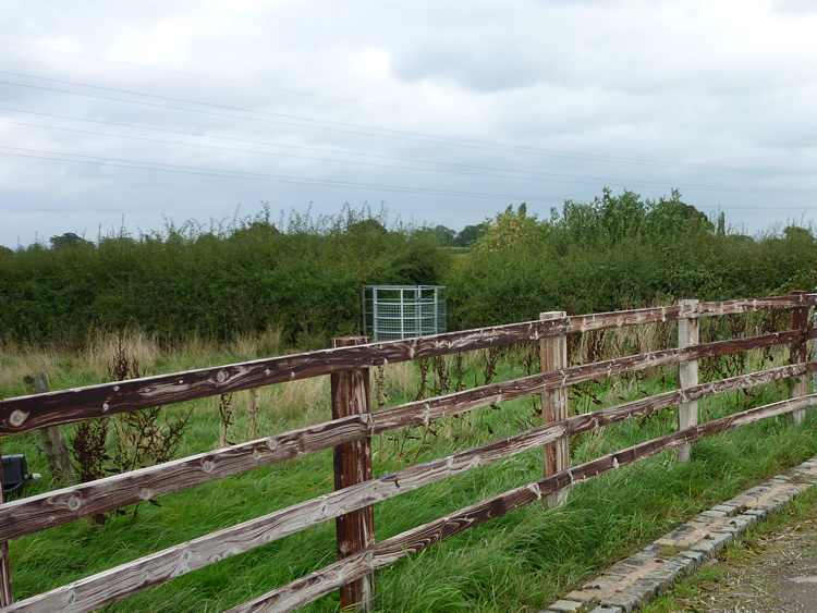 |
| DE-KIY-29 · SK27173882 · 24/09/2010 |
The location is highlighted by the square  on the map below.
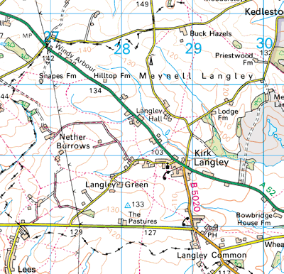


Image produced from the Ordnance Survey Get-a-map service.
Image reproduced with kind permission of Ordnance Survey
and Ordnance Survey of Northern Ireland.
Image reproduced with kind permission of Ordnance Survey
and Ordnance Survey of Northern Ireland.