
Kirk Langley FP38
| 2009: Broken sign |
|---|
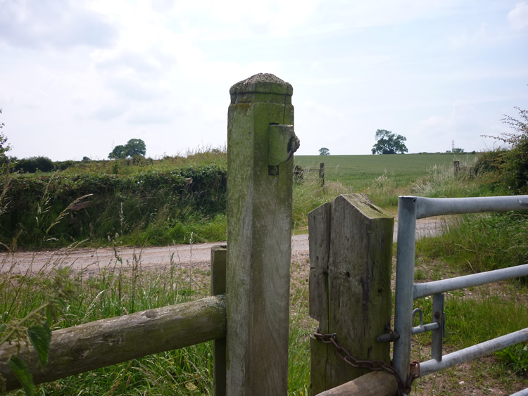 |
| DE-KIY-38 · SK27723947 · 25/06/2009 |
| February 2010: Waymark nailed to post (adequate, if not ideal) |
|---|
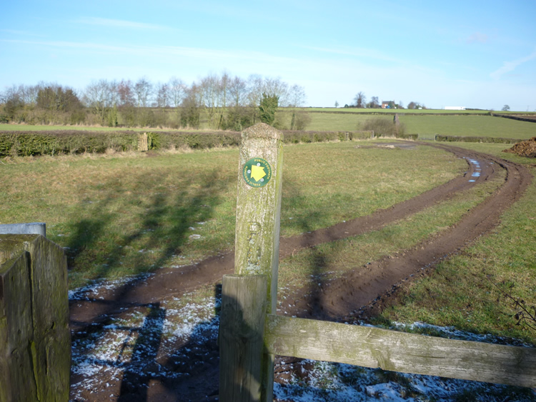 |
| DE-KIY-38 · SK27723947 · 11/02/2010 |
| September 2010: New sign |
|---|
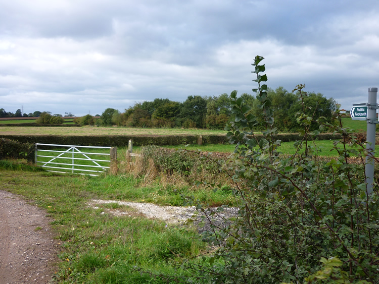 |
| DE-KIY-38 · SK27723947 · 24/09/2010 |
The location is highlighted by the square  on the map below.
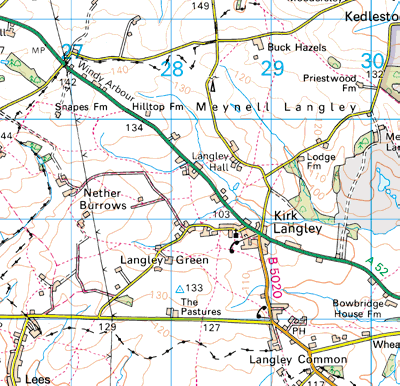


Image produced from the Ordnance Survey Get-a-map service.
Image reproduced with kind permission of Ordnance Survey
and Ordnance Survey of Northern Ireland.
Image reproduced with kind permission of Ordnance Survey
and Ordnance Survey of Northern Ireland.
Next: Ravensdale Park