
Ravensdale Park FP8
| 2009: Pallets secured with barbed wire, no way through |
|---|
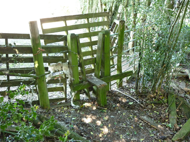 |
| DE-RAV-8 · SK28044469 · 12/05/2009 |
| 2010: Pallets removed, access now clear |
|---|
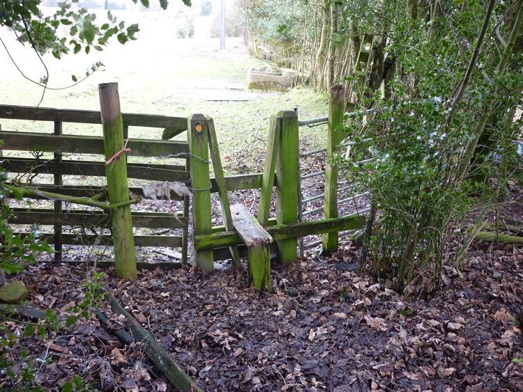 |
| DE-RAV-8 · SK28044469 · 09/02/2010 |
The location is highlighted by the square  on the map below.
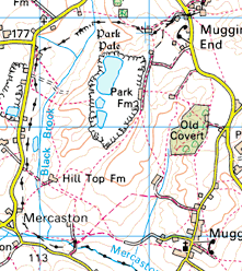


Image produced from the Ordnance Survey Get-a-map service.
Image reproduced with kind permission of Ordnance Survey
and Ordnance Survey of Northern Ireland.
Image reproduced with kind permission of Ordnance Survey
and Ordnance Survey of Northern Ireland.