
Wirksworth FP60
| 2010: Path obstructed by wooden fence, overgrown |
|---|
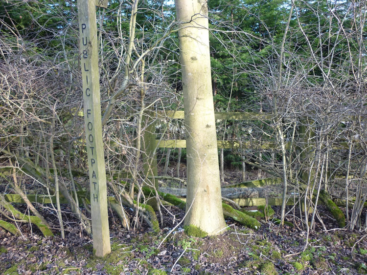 |
| DE-WIR-60 · SK27045383 · 11/02/2010 |
| March 2011: Path still obstructed by wooden fence, overgrown |
|---|
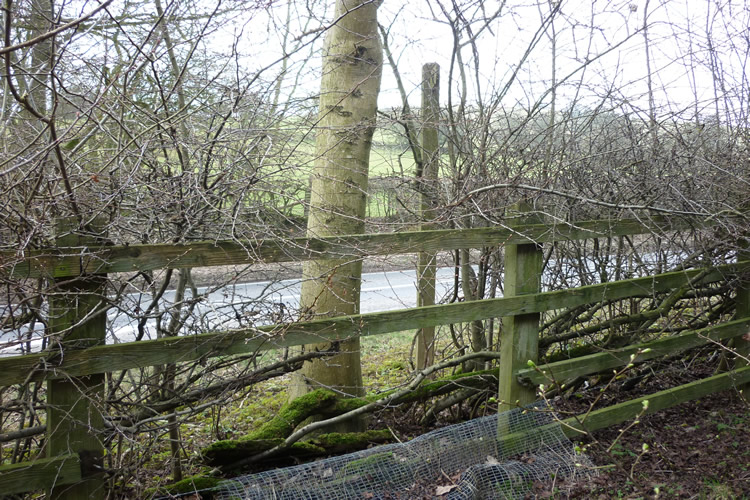 |
| DE-WIR-60 · SK27045383 · 03/03/2011 |
| May 2011: Gap cut in fence, brush cleared |
|---|
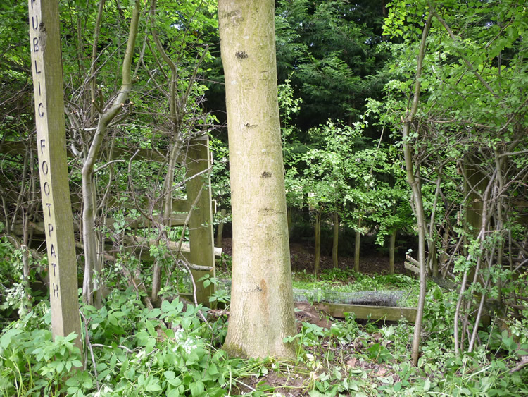 |
| DE-WIR-60 · SK27045383 · 17/05/2011 |
The location is highlighted by the square  on the map below.
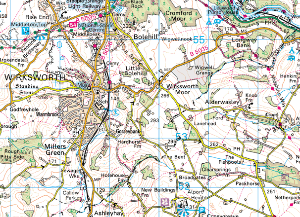


Image produced from the Ordnance Survey Get-a-map service.
Image reproduced with kind permission of Ordnance Survey
and Ordnance Survey of Northern Ireland.
Image reproduced with kind permission of Ordnance Survey
and Ordnance Survey of Northern Ireland.