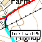
Path Finder provides you with an interactive OS map showing the routes and names of all the paths in the PNFS region. It is indexed by authority, division, and path number. It opens on a new browser page.
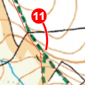
Path Mapper allows you to design printable maps showing all the path routes for any division. It opens on a new browser page.
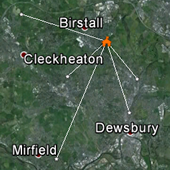
Inspector Locations KML creates a KML file for download. When opened in Google Earth, the KML file shows every inspector's location, linked to the location(s) of the division(s) allocated to them.
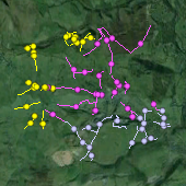
Inspector Paths KML creates a KML file for download. When opened in Google Earth, the KML file shows all the paths allocated to one inspector. You will be prompted to enter the three-letter volunteer code (e.g. BAM = Mike Barnes) of the inspector you're interested in.
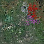
Unallocated paths KML creates a KML file for download. When opened in Google Earth, the KML file shows all the paths within a highway authority that are not allocated to any inspector. You will be prompted to enter the two-letter code (e.g. BD = Blackburn & Darwen) of the authority you're interested in.