
Macclesfield FP16
| 2009: Sign overgrown |
|---|
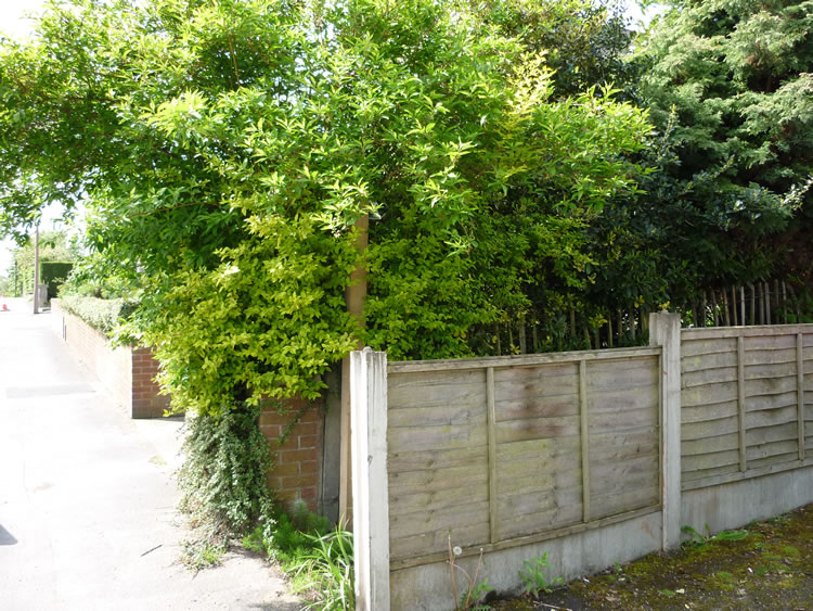 |
| CE-MAC-16 · SJ90097339 · 20/05/2009 |
| 2010: Sign now visible (just) |
|---|
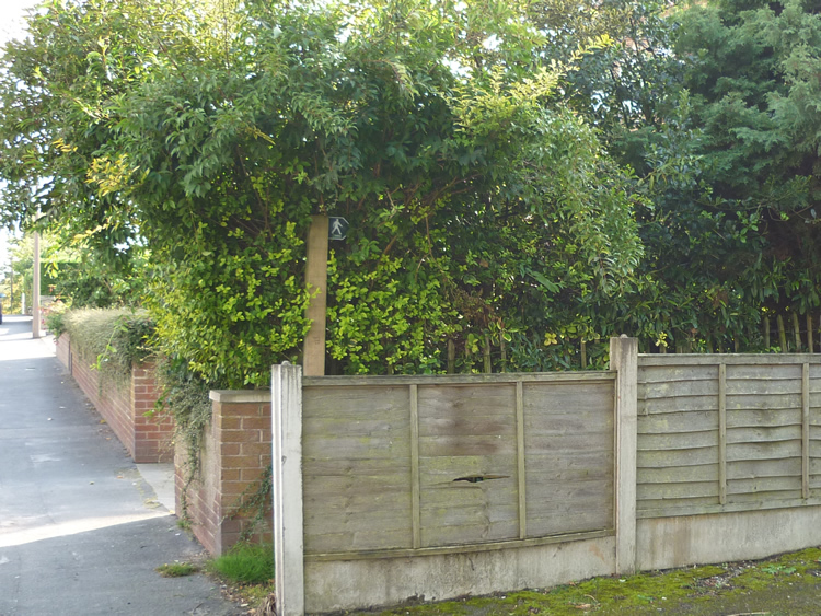 |
| CE-MAC-16 · SJ90097339 · 08/09/2010 |
The location is highlighted by the square  on the map below.
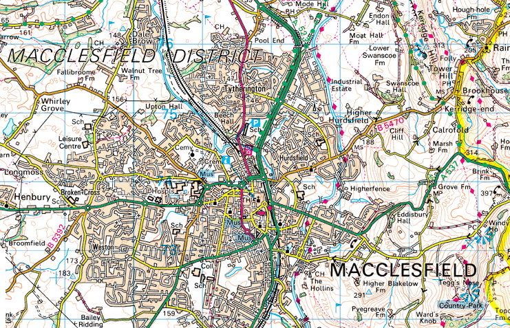


Image produced from the Ordnance Survey Get-a-map service.
Image reproduced with kind permission of Ordnance Survey
and Ordnance Survey of Northern Ireland.
Image reproduced with kind permission of Ordnance Survey
and Ordnance Survey of Northern Ireland.