
Weston Underwood FP28
| 2007: Sign invisible, covered in ivy |
|---|
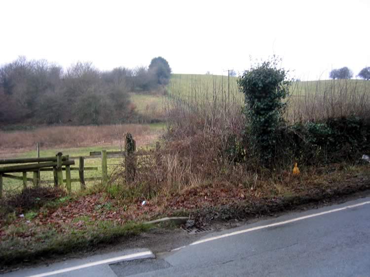 |
| DE-WEU-28 · SK28904338 · 17/12/2007 |
| 2010: New signpost (and new stile) |
|---|
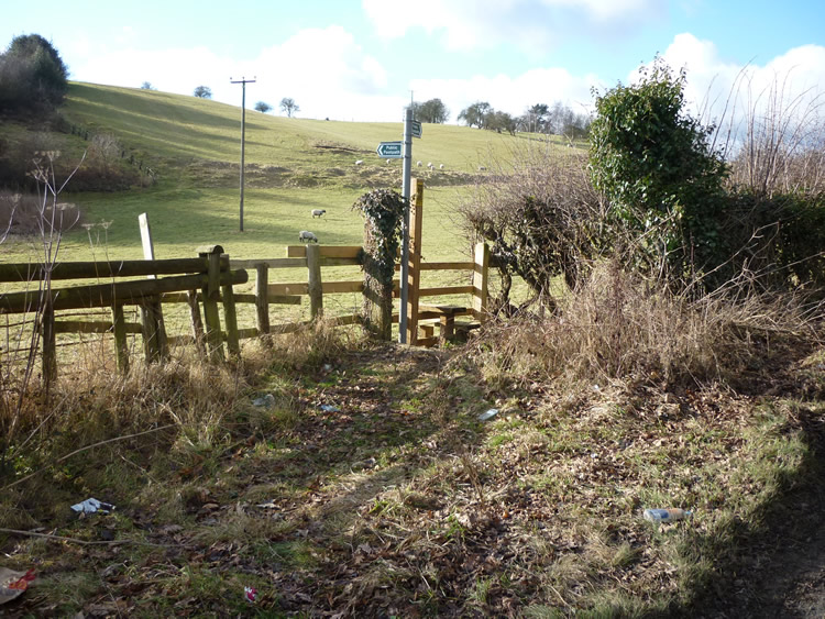 |
| DE-WEU-28 · SK28904338 · 09/02/2010 |
The location is highlighted by the square  on the map below.
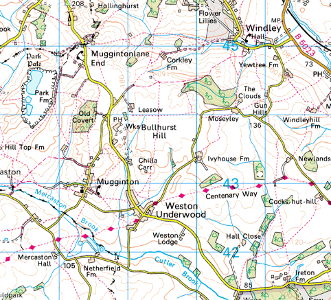


Image produced from the Ordnance Survey Get-a-map service.
Image reproduced with kind permission of Ordnance Survey
and Ordnance Survey of Northern Ireland.
Image reproduced with kind permission of Ordnance Survey
and Ordnance Survey of Northern Ireland.