
Weston Underwood FP51
| 2009: Very difficult stiles |
|---|
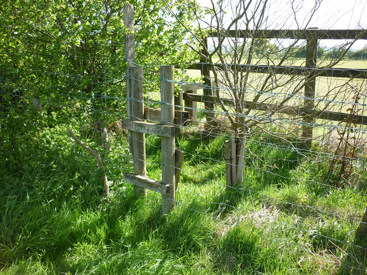 |
| DE-WEU-51 · SK28294472 · 12/05/2009 |
| 2012: New gate |
|---|
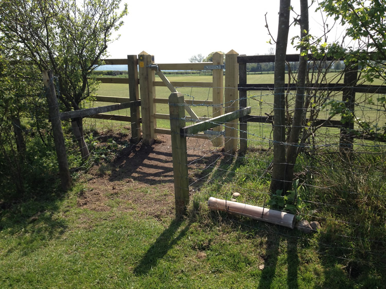 |
| DE-WEU-51 · SK28294472 · 22/05/2012 |
The location is highlighted by the square  on the map below.


Image produced from the Ordnance Survey Get-a-map service.
Image reproduced with kind permission of Ordnance Survey
and Ordnance Survey of Northern Ireland.
Image reproduced with kind permission of Ordnance Survey
and Ordnance Survey of Northern Ireland.